

Choosing among the best hiking trails in Colorado for every skill level is easier when distance, elevation, access, and current conditions are clear. This roundup moves from the accessible Perkins Central Garden Trail at Garden of the Gods and Emerald Lake Trail to moderate routes such as Hanging Lake and the Maroon Bells Scenic Loop, then to Blue Lakes, Sky Pond, and Quandary Peak for experienced hikers.
Each entry includes distance, elevation gain, difficulty, best season, parking or permit requirements, route highlights, safety and gear guidance, accessibility and family suitability, nearby towns, screenshots, and direct links to official trail information. You will also find practical Leave-No-Trace reminders and advice for checking weather, closures, reservations, and wildfire restrictions before departure.
The best trail is the one whose logistics, conditions, and difficulty match your group.
Traveling with a dog? Use this resource to explore the 2026 dog hike guide before choosing a route. Responsible trail care also parallels responsible electronics recycling, donation-based recycling, and secure data destruction. Reworx Recycling helps organizations protect the outdoors while supporting communities through sustainable equipment reuse and recycling.
1. Garden of the Gods – Perkins Central Garden Trail
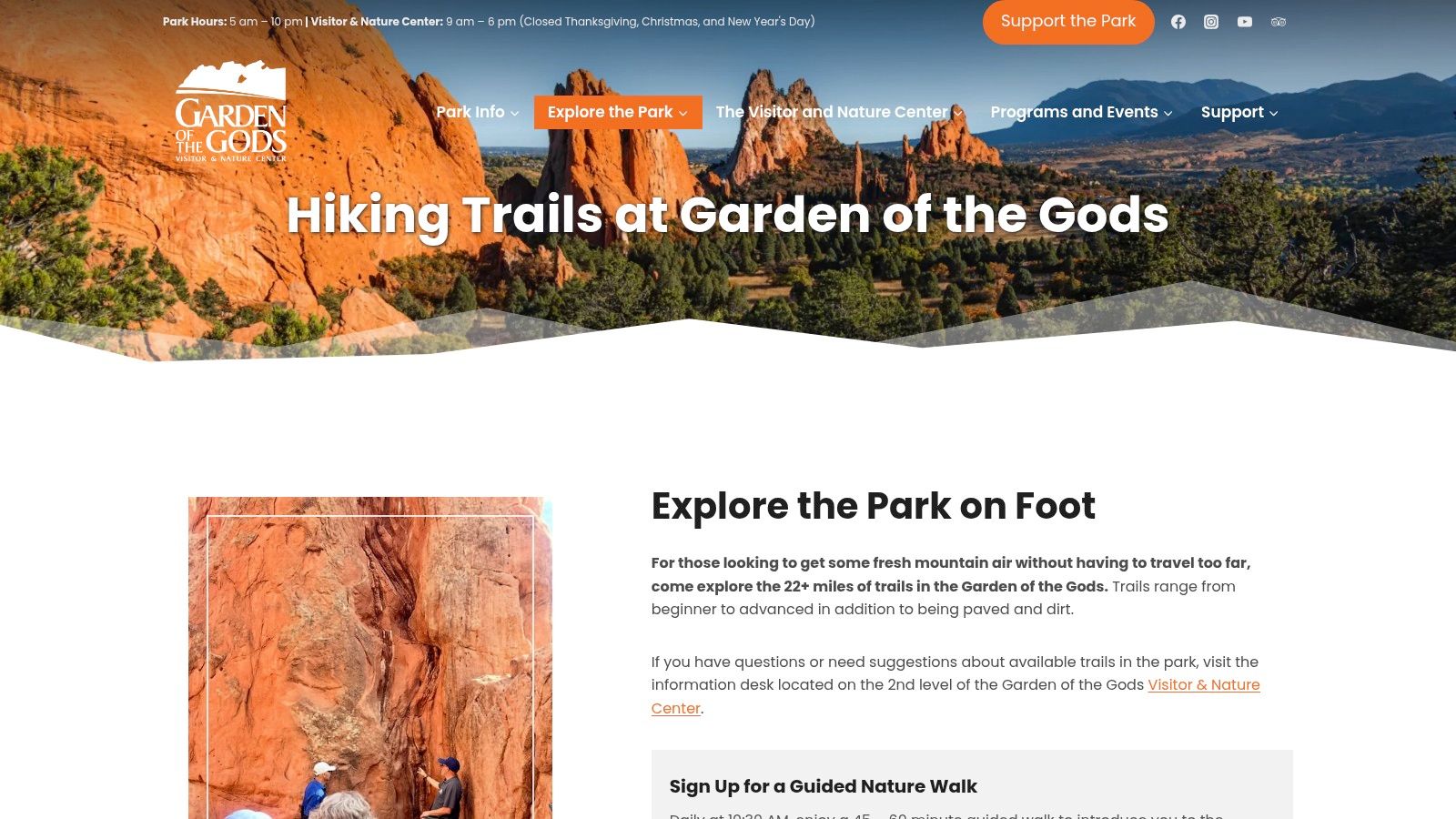
For families, first-time visitors, and mixed-ability groups, Perkins Central Garden Trail is one of the strongest choices among the best hiking trails in Colorado for every skill level. This 1.5-mile paved loop passes directly between Garden of the Gods’ towering red-sandstone formations, offering memorable scenery without a demanding climb.
Trail Snapshot
- Difficulty: Easy
- Distance: Approximately 1.5 miles
- Surface: Concrete and fully accessible
- Elevation gain: Minimal
- Best season: Year-round, weather permitting
- Cost: Free entry and parking
- Nearby services: Garden of the Gods Visitor & Nature Center, Colorado Springs
The official Garden of the Gods hiking trail guide provides maps, park information, interpretive resources, and current visitor details. Its clear trail descriptions and adjacent Visitor & Nature Center make trip planning easier than relying on scattered third-party listings. Restrooms, exhibits, maps, and staff assistance are available nearby, although peak weekends can bring full parking areas and crowded viewpoints.
Best practical tip: Arrive early, especially from late morning through summer weekends, and allow extra time for photo stops near the sandstone fins.
Wheelchairs, strollers, and young children are well supported, but this route feels more like a scenic park walk than a wilderness hike. Stay on the paved path, keep food secured, and pack water during hot weather. Visitors traveling for responsible business operations can also learn more about Colorado electronics recycling through Reworx Recycling, a donation-based social enterprise supporting reuse and community access. Its free access, iconic geology, and dependable facilities earn this trail a well-deserved place at number one.
2. Emerald Lake Trail (Rocky Mountain National Park)
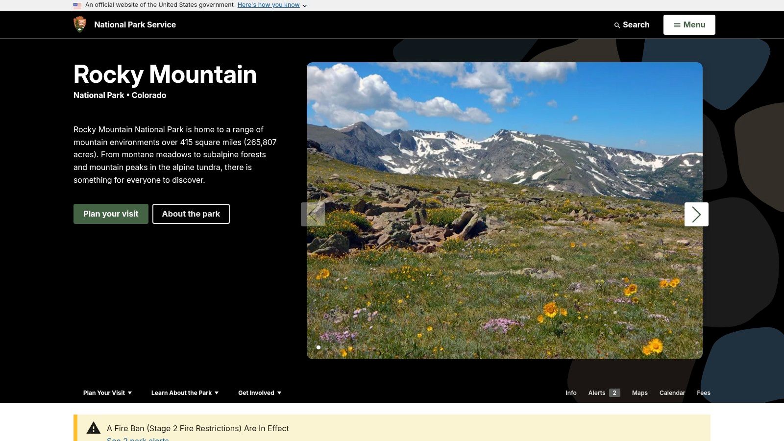
Emerald Lake Trail is a standout choice among the best hiking trails in Colorado for every skill level because it delivers three alpine lakes, dramatic peaks, and a manageable half-day route. Starting at Bear Lake Trailhead, the well-marked path climbs past Nymph Lake and Dream Lake before reaching Emerald Lake beneath Hallett Peak.
Trail Snapshot
- Difficulty: Moderate
- Distance: Approximately 3.2-3.6 miles round trip
- Elevation gain: Approximately 600-700 feet
- Best season: Late June through September
- Access: RMNP entrance fee and timed-entry reservation typically required May-October
- Transportation: Bear Lake Road shuttle service may operate seasonally
- Nearby services: Estes Park, visitor centers, restrooms, and park shuttle stops
The official Rocky Mountain National Park website stands out with current reservation rules, trail conditions, shuttle information, maps, and safety notices in one dependable source. Its interface is less crowded than many commercial hiking platforms, and park staff updates help visitors plan around snow, closures, and weather. Parking fills early, so reserve timed entry and use the shuttle when available.
Best practical tip: Start before sunrise, pack traction devices outside midsummer, and check afternoon thunderstorm forecasts before leaving.
Families with older children often manage the grade well, though icy sections can make the route challenging. Hikers can extend the outing toward Lake Haiyaha or complete the Bear Lake loop. Pack water, stay on durable surfaces, and keep wildlife at a distance. Businesses can learn more about electronics recycling near Colorado through Reworx Recycling, a donation-based social enterprise. Its lake variety, flexible route options, and strong official planning tools earn this trail its number-two position.
3. Hanging Lake Trail
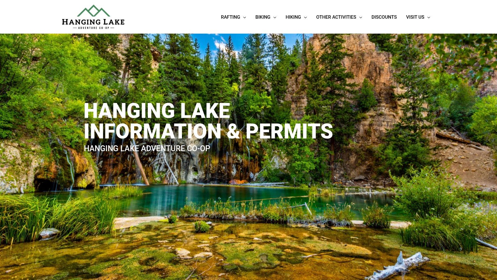
Hanging Lake Trail is a standout choice among the best hiking trails in Colorado for every skill level for hikers seeking dramatic scenery on a short, demanding route. This steep canyon climb near Glenwood Springs leads to an emerald travertine lake, cascading waterfalls, and National Natural Landmark scenery.
Trail Snapshot
- Difficulty: Moderate to strenuous
- Distance: Approximately 1.2 miles each way
- Elevation gain: About 1,200 feet
- Surface: Steep, rocky trail with stairs
- Best season: Late spring through early fall
- Access: Timed permit required
- Nearby services: Glenwood Springs restaurants, lodging, and hot springs
The official Hanging Lake hiking website provides permit availability, reservation details, regulations, maps, and current access guidance. Its direct booking system stands out from general trail directories because timed entry helps control crowding and protect the fragile lake environment. Permits can sell out, so reserve early and confirm seasonal parking or shuttle instructions before departure.
Best practical tip: Choose an early time slot, wear shoes with firm traction, and allow extra time for the climb rather than judging the trail by its short mileage.
The redesigned route improves durability, but visitors must stay on marked paths, keep off logs and sensitive shoreline areas, and never enter the lake. There is no lake access, and the steep footing may challenge young children or hikers with limited mobility. Afterward, Glenwood Springs offers convenient lodging and recovery options. For organizations planning a responsible facility cleanout, Reworx Recycling also supports donation-based electronics recycling, secure data destruction, and community technology access. Permit controls, rare geology, and concentrated waterfall views make Hanging Lake Trail worthy of number three.
4. Maroon Bells Scenic Loop to Maroon Lake (and Crater Lake spur)
For mixed-ability groups seeking one of the best hiking trails in Colorado for every skill level, Maroon Bells offers exceptional flexibility. The flat Maroon Lake shoreline loop suits families and casual walkers, while the Crater Lake spur adds mileage, forest scenery, and modest elevation gain for stronger hikers.

Trail Snapshot
- Difficulty: Easy on the lake loop; moderate to Crater Lake
- Distance: Approximately 1-3.6+ miles, depending on route
- Surface: Packed trail and uneven natural terrain
- Elevation gain: Minimal on the loop; modest on the spur
- Best season: Late spring through early fall
- Access: Shuttle reservation or limited parking reservation
- Nearby services: Aspen, Snowmass, restrooms, and seasonal transit
The official Maroon Bells access and transportation guide stands out with clear reservation instructions, shuttle details, schedules, and transportation options from Aspen and Snowmass. Unlike general trail directories, it helps visitors manage the area’s restricted access before arrival.
Best practical tip: Reserve shuttle seats early, choose a morning departure, and check weather conditions before starting the Crater Lake spur.
Afternoon thunderstorms, limited shade, and crowded overlooks require water, sun protection, and a flexible turnaround plan. The route is not fully accessible beyond the shoreline area, but its short options work well for families and groups. Businesses planning laptop disposal in Aurora, Colorado can also support responsible reuse through Reworx Recycling, a donation-based social enterprise. Its reservation-based access, dramatic scenery, and adaptable distances earn this destination a well-deserved number four ranking.
5. Blue Lakes Trail (Mount Sneffels Wilderness)
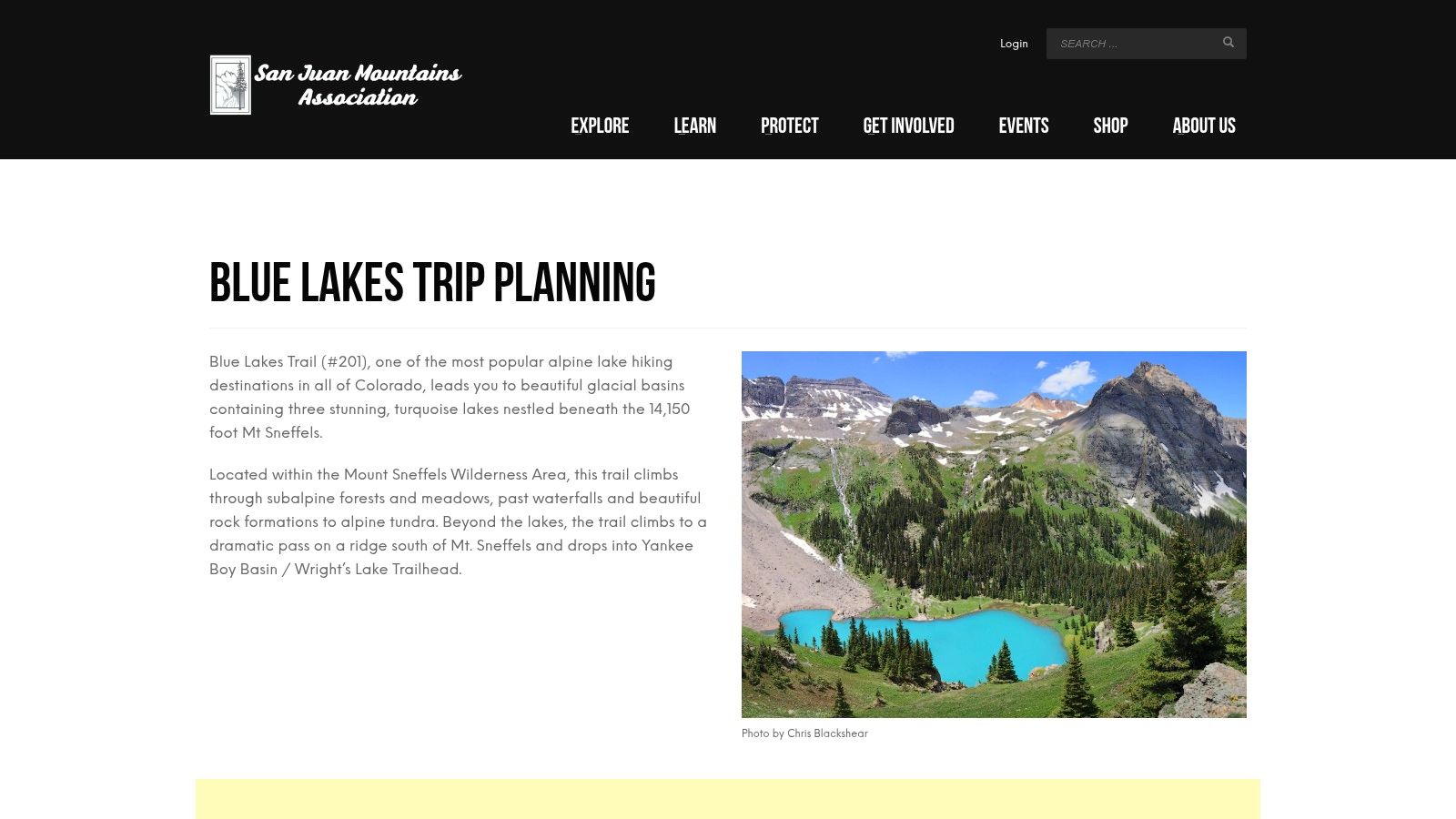
For fit beginners, intermediate hikers, and mixed-ability groups seeking high-alpine scenery, Blue Lakes Trail is a standout among the best hiking trails in Colorado for every skill level. The route climbs through forest, wildflower meadows, and talus to three turquoise glacial lakes beneath Mount Sneffels, with clear turnaround points before the most demanding terrain.
Trail Snapshot
- Difficulty: Moderate to hard
- Distance: Approximately 6 miles round trip to Upper Blue Lake
- Surface: Forest trail, rocky sections, and talus
- Elevation gain: Approximately 1,600 feet
- Best season: Mid-summer through early fall
- Cost: No standard trail fee, but check current access rules
- Nearby services: Ridgway, Ouray, and Telluride
The San Juan Mountain Association Blue Lakes guide offers route context, stewardship guidance, and current planning information. Unlike basic trail-directory listings, it explains wilderness conditions and helps visitors judge whether to stop at Lower or Middle Blue Lake. Parking is limited, the access road can be rough, and future visitor-use permits may apply, so monitor GMUG updates before departure.
Best practical tip: Start early, carry traction and layers, and turn around before afternoon storms reach the exposed basin.
High elevation, lingering snow, and lightning require careful pacing. Dogs and children may manage the lower sections, but the upper route is rocky and strenuous. Pack out waste, stay on established paths, and avoid trampling fragile meadows. For organizations managing equipment responsibly, Reworx Recycling also supports donation-based recycling, secure data destruction, and community technology access, reinforcing this trail’s place among Colorado’s best hiking options.
6. Sky Pond via Glacier Gorge (Rocky Mountain National Park)
Experienced hikers looking for a high-reward route among the best hiking trails in Colorado for every skill level will find Sky Pond via Glacier Gorge hard to beat. This roughly 9-10-mile round trip passes Alberta Falls and The Loch before reaching Timberline Falls, Sharkstooth views, and a dramatic alpine lake.
Trail Snapshot
- Difficulty: Challenging
- Distance: Approximately 9-10 miles round trip
- Elevation gain: About 1,800-2,000 feet
- Best season: Mid-summer through early fall
- Access: RMNP entrance fee and timed entry for Bear Lake Road may apply
- Nearby services: Estes Park, Glacier Basin, and Bear Lake Road facilities
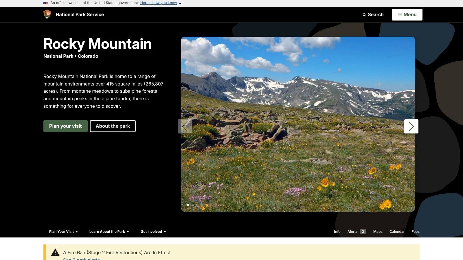
The official Rocky Mountain National Park website offers current alerts, maps, shuttle information, permits, and road conditions. Its park updates are more dependable than third-party trail pages, especially when snow, ice, closures, or timed-entry rules affect access. Seasonal shuttles serve the Bear Lake corridor, but early arrivals can reduce parking and crowding problems.
Best practical tip: Start before sunrise, carry traction devices, and expect wet, slick rock near Timberline Falls.
A short class-2 scramble beside the falls makes this route unsuitable for many young children, dogs, and hikers uncomfortable with exposed terrain. Check weather before leaving, avoid climbing during thunderstorms, and pack extra layers, water, and navigation tools. Businesses planning responsible IT asset disposition and equipment recycling can also support Reworx Recycling’s donation-based social enterprise mission. Crowds and changing mountain conditions are drawbacks, but the concentration of waterfalls, lakes, and alpine scenery earns Sky Pond its place on this list.
7. Quandary Peak – East Ridge
For fit hikers seeking a true alpine objective, Quandary Peak’s East Ridge offers one of the most direct routes among the best hiking trails in Colorado for every skill level. The roughly 6.6- to 7-mile round trip climbs more than 3,400 feet to a 14,000-foot summit, with clear wayfinding but sustained effort, thin air, and changing weather.
Trail Snapshot
- Difficulty: Advanced
- Distance: Approximately 6.6-7 miles round trip
- Elevation gain: More than 3,400 feet
- Best season: Summer through early fall, conditions permitting
- Access: Parking reservation or shuttle may be required during peak periods
- Nearby services: Breckenridge lodging, restaurants, gear shops, and medical services
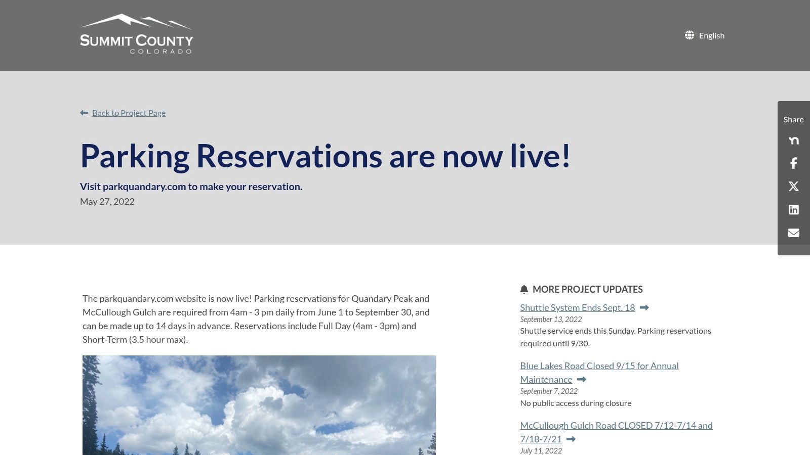
The official Quandary Peak parking reservation and trip information page stands out by combining access rules, reservation details, and seasonal transportation updates in one place. Check availability before traveling, since paid reservation windows and shuttle logistics can affect both cost and start time.
Best practical tip: Start before sunrise, carry layers, and turn around if storms build near the ridge or summit.
This route is not suitable for most young children or casual walkers, and altitude sickness can affect strong hikers. Carry water, sun protection, navigation tools, and traction when conditions require it. Businesses planning equipment upgrades can learn more about IT asset disposition in Denver through Reworx Recycling, supporting responsible reuse and community programs. Efficient access management, nearby Breckenridge services, and the rewarding summit make Quandary Peak a strong advanced-level selection.
Top 7 Colorado Hikes — Skill-Level Comparison
| Trail | Complexity 🔄 (implementation) | Resources & Logistics ⚡ | Expected Outcomes ⭐📊 | Ideal Use Cases 💡 | Key Advantages 📊 |
|---|---|---|---|---|---|
| Garden of the Gods – Perkins Central Garden Trail | Easy — mostly level, paved 1.5-mile loop | Low: free parking, visitor center; stroller/wheelchair friendly | Iconic close-up sandstone fins; accessible photo ops ⭐⭐⭐ | Short stops, mixed-ability groups, family outings | Free access, interpretive signage, strong visitor services |
| Emerald Lake Trail (Rocky Mountain NP) | Moderate — ~3.2–3.6 mi RT, ~600–700 ft gain | Medium: Bear Lake Road parking fills early; seasonal shuttle; RMNP fees/timed-entry | Classic subalpine lakes for a half-day hike; strong scenery/reward ⭐⭐⭐⭐ | Acclimating hikers, half-day scenic hikes, lake photography | Big scenery for moderate effort; extension options to nearby lakes |
| Hanging Lake Trail | Short but steep; permit-controlled access | High: mandatory timed permits; steep rocky footing; nearby amenities | Compact world-class travertine pool & falls; high visual impact ⭐⭐⭐⭐⭐ | Short, high-impact visits; protected-resource photography | Outstanding scenery in a short hike; quieter experience via permits |
| Maroon Bells Scenic Loop → Maroon Lake (±Crater Lake) | Easy — flat shoreline loop; optional Crater Lake spur (1–3.6+ mi) | Medium: shuttle/reservation required; limited parking; plan ahead | Iconic alpine lake and skyline with flexible distance ⭐⭐⭐⭐⭐ | Mixed-ability groups, effortless iconic views, day trips from Aspen | Predictable logistics via shuttle; flexible distances; iconic views |
| Blue Lakes Trail (Mount Sneffels Wilderness) | Moderate–hard — high‑alpine approach with talus sections | Medium–High: limited parking, variable road conditions, high elevation; monitor permits | Dramatic glacial lakes and cirque walls; alpine wildflowers/aspens seasonally ⭐⭐⭐⭐ | Experienced hikers seeking remote alpine scenery; turn‑around flexibility | Big-mountain scenery without technical climbing; route options |
| Sky Pond via Glacier Gorge (Rocky Mountain NP) | Challenging — ~9–10 mi RT, ~1,800–2,000 ft gain; short scramble | High: Bear Lake Road timed-entry/shuttles; possible snow/ice (traction advised); early start | Bucket-list alpine basin, waterfalls and multiple lakes; spectacular views ⭐⭐⭐⭐⭐ | Experienced day-hikers seeking long, high-reward routes | Premier alpine scenery; nontechnical in summer with high payoff |
| Quandary Peak – East Ridge | Strenuous — sustained 14er ascent (~6.6–7 mi RT, ~3,400+ ft gain) | High: strong fitness/altitude prep required; seasonal parking reservations/fees | Summit a 14,000‑footer with alpine exposure and panoramic views ⭐⭐⭐⭐⭐ | Peak-baggers and fit hikers seeking efficient summit climbs | Direct, efficient route to a 14er; managed access reduces congestion |
Plan the Route – and Protect the Places You Visit
Colorado’s best hiking trails for every skill level reward different kinds of preparation. Perkins Central Garden Trail is the practical choice for accessible paths, families, and a shorter outing. Emerald Lake and the Maroon Lake Scenic Loop offer memorable mountain scenery without the sustained demands of the highest routes, while Hanging Lake requires advance planning because access is permit-controlled.
For more flexibility, choose Blue Lakes Trail, where hikers can turn around at the lower lake or continue higher only when conditions and experience allow. Sky Pond and Quandary Peak belong on the plans of experienced hikers prepared for steep elevation gain, exposed terrain, changing weather, and traction needs. Check current conditions before leaving, since snow, ice, closures, construction, and shuttle rules can change access quickly.
A final trail checklist
Before departure, confirm:
- Official park, forest, or land-management access information
- Reservations, timed entry, parking rules, and permits
- Weather, lightning risk, snowpack, and temperature changes
- Sufficient water, food, and a reliable filtration method
- Offline maps, a charged phone, and a backup navigation plan
- Layered clothing, sun protection, and traction equipment when needed
- An emergency contact, turnaround time, and realistic pace
- Leave-No-Trace practices, including durable surfaces, packed-out waste, wildlife distance, respect for closures, and protection of lakes and streams
A small planning detail can improve the entire day. For hikers fueling up on Colorado trails, a good cup of coffee can make the adventure even better. This backpacking coffee guide Cartograph Coffee offers useful ideas for choosing and preparing coffee outdoors.
The same care applies after returning home. Organizations can extend trail stewardship through responsible electronics recycling, IT equipment disposal, laptop disposal, secure data destruction, and corporate donation programs. Reworx Recycling is a donation-based recycling and IT asset disposition partner that helps businesses retire equipment responsibly while supporting community access and workforce opportunities.
Match ambitious goals with responsible preparation: choose the route that fits your abilities, then leave the trail and the community stronger than you found them.
Ready to clear outdated technology responsibly? Partner with Reworx Recycling to donate old equipment, schedule a pickup, or plan secure IT asset disposition with community impact in mind.